Flightlines: Berms site
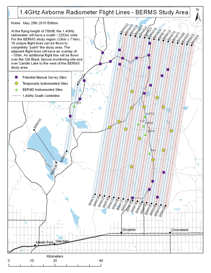
Flight-lines over BERMS study area. EC, BTN and the manual survey sites are represented respectively by the green, yellow and purple marked symbols.
|

Flightlines: Berms site
Flight-lines over BERMS study area. EC, BTN and the manual survey sites are represented respectively by the green, yellow and purple marked symbols.
|